

From smartphones to cars to critical infrastructure, these early satellites power some of the most modern technologies of today
GNSS is not a term that peppers headlines often. Nevertheless, it underpins almost all technologies that we use in everyday life. GNSS systems are present in modern automobiles, feeding the moving maps on trip computers that tell us where to go; GNSS services in smartphones enable features like location sharing and geotagging; they’re even in small devices like Apple AirTags and Oura rings that stream location data and other metrics in real time.
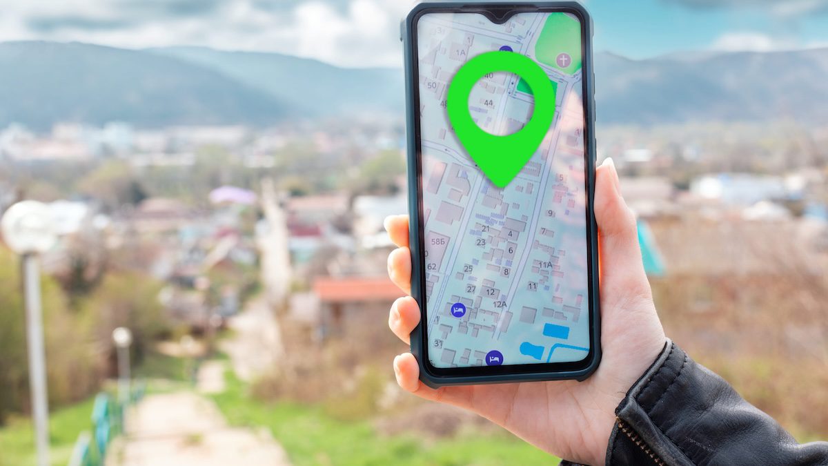
What is GNSS and how does it work?
GNSS is often mentioned in connection with PNT, and its important to understand why. PNT or positioning, navigation, and timing is a broad term used to describe services and systems that provide location, navigation and time capabilities. GNSS is a flavor of PNT service.
Let’s break it down. GNSS stands for Global Navigation Satellite System, which NASA describes as “a space geodesy technique that provides autonomous geospatial positioning with global coverage.” In other words, these are satellite constellations that send global positioning data to a wide range of applications, helping pinpoint the location of objects, static or moving. The signals are freely available for consumer and commercial applications, and encrypted for government and other critical use cases.
Here’s how it works. The satellites are deployed in medium Earth orbit (MEO) from where they broadcast signals containing data. Embedded GNSS receivers in devices receive and process the data, computing the position of objects relative to the world, time-stamping the events with an approximate 10 nanoseconds of precision.
The process of positioning works across latitude, longitude, and altitude, and happens through trilateration. One satellite points to a broad circular area — approximately 35% of the Earth’s surface — where the receiver is located. A second satellite points to another overlapping area, narrowing down the location to where two the circles intersect. Then a third satellite pinpoints the precise location where all three circles intersect. A fourth satellite adds height, allowing the system to calculate the altitude.
History
The GNSS constellations that are in orbit today are: the U.S. Global Positioning System or GPS constellation, developed by the U.S. Department of War (formerly Department of Defense), that has 24 satellites in orbit; Galileo, created and operated by the European Union (EU), and has 26 satellites; the Russian GLONASS, the second operating constellation to provide global coverage, with 25 satellites; and BeiDou or BDS, owned and operated by the Chinese National Space Administration, with 35 satellites.
Apart from these, two other regional satellite systems exist today — the Japanese QZSS, and the Indian NavIC.
The U.S. GPS system was the first of its kind, and as others joined, the term GNSS was coined as an umbrella term to describe this kind of satellite systems. So GPS may be a more commonly used term, but GNSS is the accurate name for the type of service.
Applications
GNSS data is used in a multitude of areas, starting with military, which the first systems were designed for. The data was supposed to be used by military personnel for location awareness. Today, GNSS still continues to be a key enabler in the defense sector, with troops using the information to track movements of potential targets, feeding situational awareness systems, and informing weapon systems.
Over time the technology has also found its way into an array of civilian and commercial applications. Today it underpins everything from cars to construction, shipping to aerospace, agriculture, transportation, finance, and much more.
At a high level, GNSS data enables lane-level positioning in autonomous driving; provides high-precision time synchronization in cellular networks and trading platforms; supports crop mapping and resource optimization in precision agriculture; and in survey and mapping, highly-accurate GNSS data enables geodetic control, land surveys, and infrastructure monitoring.
The Office of Space Commerce estimates that GPS alone generated $1.4 trillion in the U.S. economy between the 1980s and 2019. Crucially, the department estimates that a GPS outage today could potentially cost $1 billion in losses every day, underscoring the extent of its penetration in modern technology, and the imperative to de-risk networks from signal jamming, spoofing, and other interferences that have been on the rise recently.
For more on PNT, GNSS, and other defense communications topics, register for the RCR Defense Communications Forum happening April 28.